Waves in Shallow Water (WASH)
This study obtains measurements of breaking and broken waves to enhance our understanding and ability to predict damaging nearshore waves.
The storms experienced in the UK during the winter of 2013/2014 highlighted the vulnerability of the coast to structural damage, flooding and erosion due to extreme waves and water levels, and the economic and societal costs of such events. Predictions indicate that these events will become increasingly common due to rising sea levels and greater storminess, presenting a challenge for the sustainable management of the coast. As nearshore waves are a key cause of coastal flooding and erosion, the underlying goal of this research project is to increase understanding of nearshore waves, providing the basis for improved predictions of wave processes and their effect on our engineered and natural coasts.
Ocean waves undergo rapid transformation over sandy beaches as they break in shallow water, propagate through the surf zone as white-water bores and then drive wave runup in the swash zone. Shallow water waves cause forces on coastal structures, lead to overtopping of coastal defences and dunes, and cause beach and cliff erosion. Consequently, an understanding of wave transformation is of critical importance for coastal engineers. However, due to the complex nature of waves in the nearshore, theoretical descriptions are limited and numerical approaches rely on empirical parameterisations to describe aspects of breaking and post-breaking waves based mostly on laboratory results which are subject to scale effects and don’t necessarily reproduce the variability of waves in nature. Shallow water wave processes are key to the numerical models of shoreline change and coastal flooding which are used by engineers to inform coastal management decisions. To improve the predictive capability of these models, high quality field data which will enable model verification and improvements in wave process parameterisations are required, but existing measurements fail to capture the variability and highly non-linear shape of shallow water waves due to their limited coverage across the surf zone and low spatial resolution.
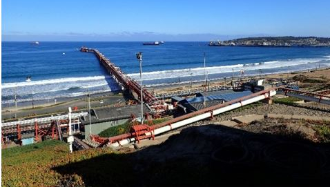
To address this research gap, the proposed study will apply a newly developed remote sensing approach using a network of jetty-mounted Lidar at two widely applicable field sites with contrasting wave climates to obtain high-frequency measurements of the time-varying water surface across the complete surf and swash zone at a spatial resolution an order of magnitude higher than previously achieved. Uniquely, this capability allows individual waves to be tracked from the break point to the limit of maximum wave runup, enabling an analysis of wave characteristics on a wave-by-wave basis. These measurements, combined with hydrodynamic and topographic data will form a valuable field-dataset which will be made available to the research community and analysed within this project to answer fundamental unresolved questions related to wave transformation in the nearshore, and improve the representations of breaking and broken waves in numerical wave models. Improvements in our ability to model nearshore waves will reduce uncertainty in predictions of wave forcing on engineered structures and the natural coastal environment, enabling better assessment of shoreline evolution and coastal hazards as well as more efficient coastal planning and design of coastal defence schemes.
Follow the WASH project blog.