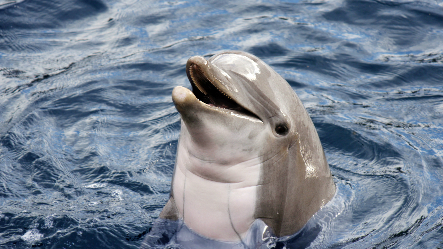
When it comes to mapping uncharted territory, we know more about space than we do about our home planet. In fact, we’ve got a clearer picture of Venus than we have of Earth. The latest mapping mission to our closest neighbour reveals the cloudy planet’s surface to a 75-metre resolution. Here on Earth, we’re familiar with our terrestrial environment, but underwater there are hundreds of kilometres where we have no images at all. With three-quarters of the planet covered by oceans, we’re a long way from seeing the full picture.
Dr Philippe Blondel from the Department of Physics is working to change that.
It’s not as simple as pointing a camera beneath the waves though. Light doesn’t travel well through water, and things start to very dark just tens of metres down. By 1000m, there’s no sunlight at all - making conventional cameras impractical for capturing oceanic depths.
Philippe is instead interested in underwater acoustics; studying sound waves, how they propagate, and what they mean for underwater imaging and our knowledge about our planet.
Understanding acoustic imaging
Underwater imaging all starts by making some noise. Underwater loudspeakers vibrate hundreds to tens of thousands of times a second, creating sound waves. These sound waves propagate through the water until they interact with a target, like the seabed. Most sound waves will bounce off in different directions. Some, however, will reflect back towards the loudspeaker. By measuring the loudness of the echoes and how long they’ve taken to return, researchers can start to work out what’s happening beneath them.
Sonar technology has a distinguished history, dating back to the First World War and detecting enemy submarines. In the intervening years, its applications have changed – from early iceberg detection in the wake of the Titanic disaster, to helping fishing crews find their next big catch – but the technology remains much the same.
Research vessels move along a set line, taking recordings at various intervals. Fan-shaped ‘multibeam’ devices can also send sound waves and pick up echoes in all directions. Recording the time elapsed and echo amplitudes allows researchers to visualise the topography of the land, and how acoustically reflective it is.
Working in the field
Philippe’s research has seen him sampling every ocean in the world save the Antarctic (somewhere he’s still hoping to get to) and working in waters from 50cm to 6km deep.
Before joining the University of Bath, he worked at the National Oceanography Centre in Southampton. Here the team routinely mapped the sea floor, exploring mid-ocean ridges and abyssal plains. On one such voyage, they discovered inactive, but no less unexpected, volcanoes off Scotland’s shores.
Later, a project with Bath’s Department of Physics saw Philippe peer beneath the waves of European coastlines affected by past tsunamis. Travelling with a Spanish vessel off the coast of Portugal, he helped image the seabed, pinpointing the landslides that caused a devastating tsunami in 1755. By understanding where it started and how large the landslide was, the team identified areas to monitor to see how likely such an event was to occur again.
Predicting echo patterns
When a sound beam is directed at a single target, only a small proportion of this energy bounces back towards the loudspeaker. Much of the rest of the sound will be scattered away.
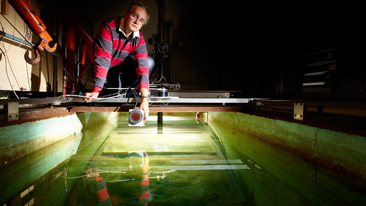
Philippe has been working to create a network of transducers to receive these scattered echoes. Through experiments in the laboratory and in the field, he has been studying where best to place them. Smooth surfaces will produce more predictable scatter patterns, while rougher ones pose a bigger challenge.
Philippe and his team put this to the test in the waters off the coast of Sweden. Following the two World Wars, unused chemical weapons were sealed in barrels and buried deep in the Baltic Sea. Eighty years later, however, the barrels are resurfacing, caught on drifting tides, and dredged by passing fishing vessels. While their location was known, the team needed to use soundwaves to peer inside the barrels and find out how dangerous they were without touching them.
Recreating the seabed in a giant tank in their Bath lab, the team buried items beneath different substrates. This allowed them to test out the positioning of their multistatic sonar array and the information it could provide. Once they found the sweet spot, they scaled up their sensor setup and put it to work in the Stockholm Archipelago.
Now, Philippe is looking to take this technology a little further afield.
From Stockholm to space
Space debris is one of the biggest hazards to orbiting objects, with hundreds of thousands of pieces flying at around 24,000 kilometres per hour (15,000mph). Space agencies track debris larger than 10cm, but even the tiniest bolt could have catastrophic consequences.
Philippe and his team want to take what they’ve seen with sonar technology in water and apply this in space. Sound waves may not travel through a vacuum, but light waves obey the same rules. Radar responds in much the same way as sonar does, sending out pulses of radio waves and detecting the ‘echoes’ with a network of receivers. This will allow the team to reconstruct the shapes of individual objects, or see through a debris cloud to identify the danger within.
In years to come, they hope a fleet of these receivers travelling ahead of a space platform could work like parking sensors on a car, detecting debris and allowing ground teams to move the satellite to a position of safety.